Drone Operations

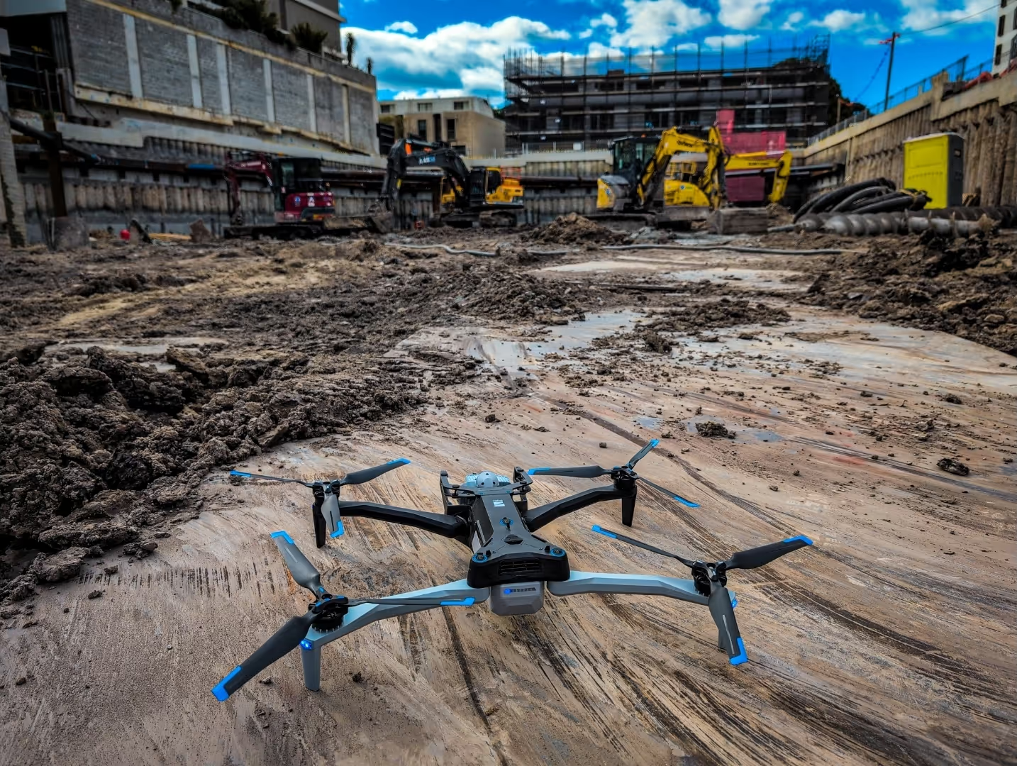
Safely gather intelligence, make better decisions and extend your situational awareness with the Skydio X-10

Extend Your Reach. Expand Your Operations.

Patrols & Incident Response

Enhance security with rapid aerial patrols and real-time incident response, delivering immediate situational awareness across large or remote areas.

Aerial Mapping & Surveying

Generate precise orthomosaic maps, 3D terrain models, and topographic data to support planning, compliance, and operational decision-making.

Inspections & Monitoring

Conduct safe and cost-effective inspections of critical infrastructure, capturing high-definition and thermal imagery without downtime or risk to personnel.

Construction Life-of-Build Datasets

Capture every stage of construction with accurate aerial datasets, orthomosaics, and 3D models, ensuring transparent progress tracking and reporting.

Public Safety & Emergency Response

Provide frontline teams with live aerial intelligence for firefighting, disaster relief, and law enforcement, improving coordination and response effectiveness.

Search & Rescue

Deploy quickly with thermal imaging and real-time video feeds to locate missing persons and support time-critical rescue operations.

Contact us

What You Get

Aerial Surveillance

Real-time monitoring and reconnaissance to safely extend your operational reach.

Intelligence Gathering

Collect and analyze visual intelligence from areas too dangerous or difficult to access.

Geospatial Intelligence Mapping

Create high-res 2D maps and 3D models of structures or areas of interest.

Contact us

Our Process

1

Mission Planning 

We analyze your operational requirements and develop a tailored flight plan to gather the intelligence you need.

2

Deployment & Data Collection

 Professional drone operations using Skydio X10 systems to safely collect real-time visual intelligence from your area of interest.

3

Analysis & Intelligence Processing

Our operators analyze collected data and transform raw footage into actionable intelligence for your mission.

4

Reporting & Recommendations

You receive comprehensive intelligence reports with visual evidence and tactical recommendations for your operations.

Contact us

Why Choose Rapier

Industry leading sensors & autonomous flights

Professional, licenced drone operators & Chief Remote Pilots

Skydio X-10 RPA, Scan 3D software & RTK georeferencing

Contact us